All objects in the 12 mile (19.3 km) long digital model of the Upper Chattahoochee River Basin have been defined in x-y-z coordinates, plus material, color, texture, solar azimuth, date, time, weather conditions and animation commands, when applicable. The waterfalls, creeks and Chattahoochee River will be flowing!
These additional variables only became visible in the finished image, produced by the Artlantis rendering software. As in the case of the rendering below of the Nacoochee Mound in mid-October 1500 AD, I sometimes go a step further and load the Atlantis image into Corel Paintshop Pro to get special effects, such as smoke and the appearance of a water color painting,
by Richard L, Thornton, Architect and City Planner
Computer Aided Design and Drafting (CADD) Virtual Reality projects require different software than that used to create animated films and special effects in movies. CADD is precise to at least .000. The same CADD 3D drawings, used to create virtual reality images and videos, can be used to construct a real building (BIM-created construction documents) . . . or a 3D Printed museum model.
Well folks, I am literally working night and day right now, because I am certain that my sponsors in California and the Yucatan Peninsula are anxious to see the finished images and documentary video. I hope to have something special for you by June 21, 2023, which is both the Summer Solstice and Creek New Year’s Day. Just wanted to let you know that I am alive and well. LOL
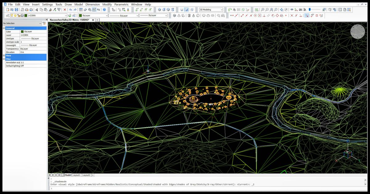
The famous Nacoochee Mound on October 15, 1500 AD


Oh, my, Richard. What a remarkable endeavor! Godspeed!
LikeLiked by 2 people