Until the early 1800s . . . from the Santee River in South Carolina to northern Florida, the melting of heavy snow packs in the Southern Appalachian Mountains caused lakes, swamps and major rivers to spread their waters across most of the landscape in the springtime.
The Many Peoples of the South Atlantic Coast Series
by Richard L. Thornton, Architect & City Planner
Read Naturalist William Bartram’s memoirs. He was lingering in southern Georgia . . . even took part in a skirmish along side Patriot militia, when he learned that the political unrest associated with the British colonists’ desire for more autonomy had turned into a full-blown war for independence. Royal Governor James Wright had fled Georgia. At almost the same time that delegates in Philadelphia approved the Declaration of Independence, the Cherokees had attacked the Southern Frontier without warning and brutally massacred many families, including those loyal to the Crown.
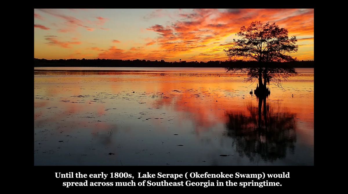
Bartram stated that he was unable to travel directly to Savannah because the landscape in between was covered in water as was usual in that time of the year. Say what? Yes, back then the Okefenokee Swamp, then called Lake Serape, tripled its size after the snow melted in northern Georgia. A similar situation occurred in South Carolina’s Coastal Plain, where natural swamps and lakes spread out over the landscape during the springtime.

Why all the snow in the Southern Appalachians back then?
The alternate Creek Indian words for the Southern Appalachian Mountains were Tvsken-Apalachen and Tvsken-Hátki (Snowy Mountains). Obviously, heavy snow falls in that region were formally the norm.
Teenage French colonists of Fort Caroline, whose lives were spared because of their age, told the Spanish that French explorers had returned with much gold from the “Apalachen” Mountains (North Georgia) , In the autumn of 1567, the Juan Pardo Expedition journeyed northwestward from the Colony of Santa Elena in Port Royal Sound, SC. They were stopped in their tracks in mid-December by a heavy snow storm. The Georgia and western North Carolina Mountains remained impassible until late March.
According to The Early History of Jackson County, Georgia, the winters were bitterly cold and snowy from the mid-1770s to the mid-1780s. By the end of the first decade of the 19th century, the weather was substantially warmer, but several species of animals, including an American version of the Komodo Dragon had disappeared.
Apparently, at least during the height of the Little Ice Age (c. 1300-1650 AD) warm moist air from the Gulf of Mexico continually collided with Arctic air over the Southern Appalachians. The result was a heavy snow pack, comparable to what is typical today for the mountains of New England.
Effect on the peopling of the Southeast
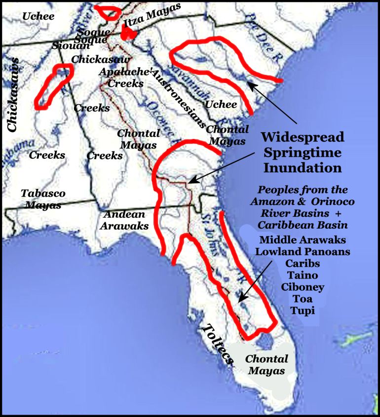
The linguistic analysis of the surviving Indigenous words of the Lower Southeast revealed a surprising contrast in Georgia, Florida and southern South Carolina between the regions subject to annual widespread inundation and those that were not. Most all the tribes within the mass-inundation regions originated in the Orinoco River Basin of Venezuela, the Amazon River Basin of Brazil, Peru, Bolivia and Ecuador . . . or the Caribbean Basin.
Direct ancestors of the Creek Confederacy usually avoided mass-inundation regions and preferred to be near fast-running, clear water. They were the primary occupants of the Southern Appalachians and Piedmont.
Those tribes living north of the St. Johns River, which 20th century Florida academicians labeled “Timucua,” were entirely different ethnic groups that spoke language mutually unintelligible with Timucua. They may have been trading partners or on good political terms with the Timucua, but they were definitely not Timucua.