
by Richard L. Thornton, Architect and City Planner
The Nacoochee Valley is located in Northeast Georgia along the headwaters of the Chattahoochee River. According to several references, it contains the densest concentration of archaeological sites in North America . . . dating from the Ice Age to the Georgia Gold Rush in 1828. Nacoochee is the Anglicization of the Creek and Chickasaw word for bear, Nocossee. Nocossee was the actual name of Yonah Mountain until the 1830s, when settlers from North Carolina changed the mountain’s name to Yonah, the Cherokee word for bear. Very few people know this.
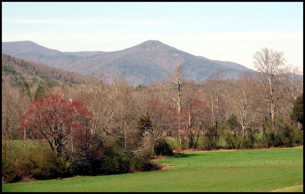
The Nacoochee Valley was created by a line of ancient volcanoes that arose after the Blue Ridge Mountains were formed to the north. Some ancient volcanic cones also pierce the Blue Ridge. One, Chimney Mountain, in the photo immediately below, is a semi-active gas volcano. It erupted with great violence sometime around 1700 AD – causing the Creek People to move their capital southward out of the valley. It continued to have smoke come out the top until the Charleston Earthquake in 1886. In 2018 and 2019, hot gases coming out the top, killed all the vegetation on top of the mountain.
The sarcophagi are shaped like simple houses with walls and a hip roof. They are aligned east-west. Most have carved stone stelae on the west end of the sarcophagus. No engraving was visible on the stelae that photographed. The sarcophagi are mixed in with randomly place 19th and early 20th century tombstones that are randomly spaced. However, there are literally hundreds of burials appearing on infrared imagery of the burial ground that either have no marker or merely a large fieldstone to mark them.
There is another type of non-traditional burial at the this cemetery. It consists of a massive stone slab, generally 3-4 feet wide by 6-7 feet long. None of these slabs have writing engraved on them. You can see the edges of two such slabs in the righthand photo above.
The burial ground is maintained by Nacoochee United Methodist Church, but is actually a public cemetery, which predates the founding of this congregation around 1822 by the first Anglo-American settlers in the valley. Well, that might not be quite accurate because a shipload of English Protestants were allowed to settle in the Kingdom of Apalache in 1621 and also build a Church of England chapel. Currently, the location of this chapel is unknown. It may be at the site of the burial ground. The elite of Apalache were converted to Protestant Christianity in the 1560s by survivors of Fort Caroline. They mostly worshiped in the open air, except in unpleasant weather.
I have seen sarcophagi in Mexico like these, but never in the Eastern United States. On the Summer Solstice . . . the Creek New Year . . . I will publish a much more detailed report on this fascinating legacy from the past.

Howdy, Harjedalen Sweden digital photography of pertroglypha.
LikeLiked by 1 person
Härjedalen is a very unusual part of Sweden. It looks like northern Georgia – mountains about the same height. It has no cities or even towns . . . very few villages even. Most of the inhabitants, which are not many, do not look like typical Scandinavians. I think that they are descended from the original inhabitants of Scandinavia. They resemble most the Welsh in the most remote mountain villages of Wales. Guess, one could call them southern Sami, but I don’t recall them calling themselves Sami.
LikeLiked by 1 person
We usually preferred the mound and at times, a place under the floor of the longhouse. Very much a good article! What caught my eye, Dad’s House is Bear but from the Seneca susos kanona ki’i. Walk in beauty.
LikeLiked by 1 person