One could still see the remnants of the lakes that surrounded the city 2,000 years ago, but now they are now dense, urban development
by Richard L. Thornton, Architect & City Planner
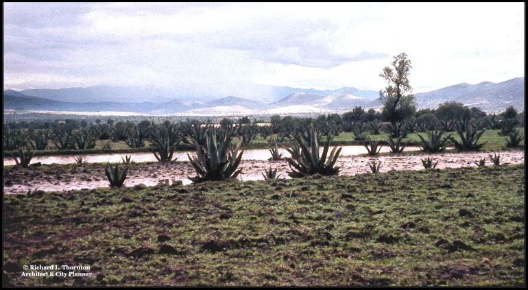
As stated in the previous article, very few people are aware that Teotihuacan was originally located on an island in a shallow lake that soon turned to marshes as the city’s population exploded. I took this color slide late in the afternoon, so the image quality is not exactly spectacular, but you can see a pond in the foreground and a small lake beyond.
The water table has continued to drop in the Teotihuacan Valley, so the remnant lakes have disappeared or else been drained for real estate developments. Probably, the current generation of archaeologists are even aware that they ever existed.
+
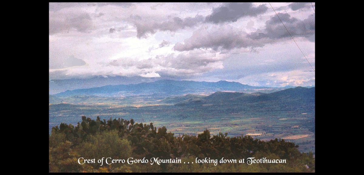
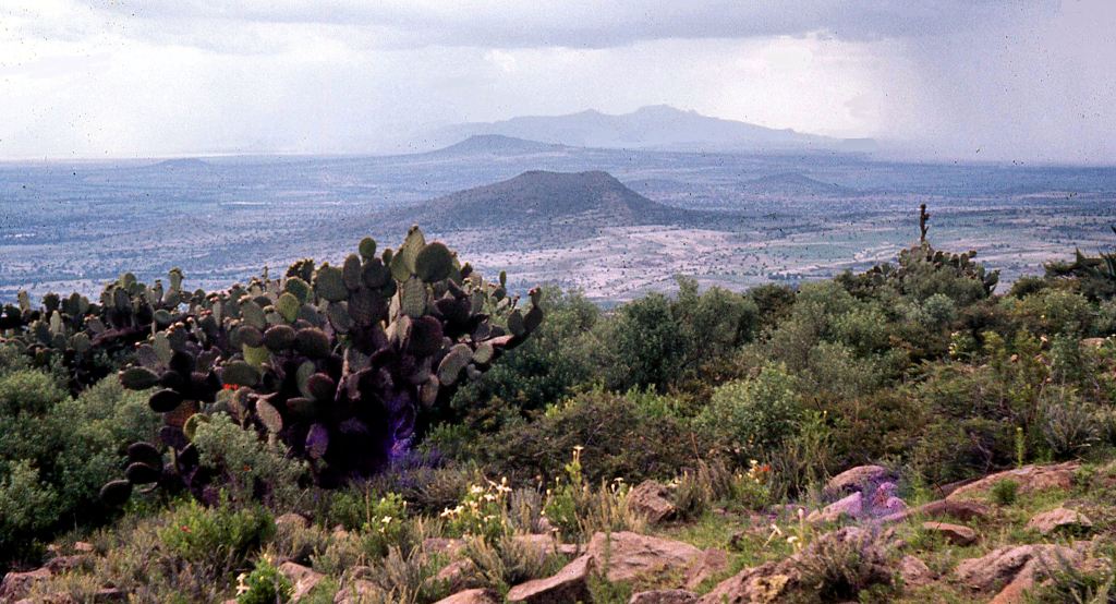
This is a view of the Teotihuacan Valley from the top of 10,000 feet high Cerro Gordo, which frames the Pyramids of the Sun and Moon in many photos of Teotihuacan. I am probably the only person in this end of Habersham County, GA who has climbed Cerro Gordo. LOL Actually, I might be the only person in the United States, who has done so. I only know of one Mexican archaeologist, who did this, after seeing my video on the climb.
You see . . . on top of Cerro Gordo are the ruins of an ancient, fortified city that seems to have been built by giants. Its outer walls are composed of massive boulders.
