
Itza Mayas in the Southern Appalachian Mountains and Georgia Piedmont used the same agricultural practices and grew most of the same crops as in their homeland in the mountains of Chiapas State, Mexico. In Itza Maya and several other Maya languages, Chiapas means “Salvia-place.” Chiaha means “Salvia-River.”
Part 25 of The Americas Connected series
by Richard L. Thornton, Architect and City Planner
Roger G. Kennedy was Director of the National Museum of American History [Smithsonian Institute] from 1979 to 1992. He was Director of the National Park Service from 1993 to 1997. Roger and I first met at Smithsonian Christmas party in December 1990. (See The Shenandoah Chronicles) Each time, we reconnected through the years, he would first ask about Vivi, the exotic French lady of mixed Burgundian and Tamulte Maya ancestry, who we first met at that same party. In truth, he remembered her much more vividly than me. That is understandable. She would become my soulmate and I have never forgotten her.
Roger saved me in a very dangerous time in my life. He volunteered to send me a $1200 check in April 2010, when I was homeless, out of food and about to have my Ford Explorer repossessed. He continued to subsidize my field research throughout the Southern Highlands from then until the summer of 2011, when cancer reappeared in his body. First, though we will go back to when Roger and I last reconnected.

Jasper, GA – December 18, 2009: There had been no communications between Roger and I between July 17,1996 and December 18, 2009, when Roger first emailed, then telephoned me that Friday evening. Roger initially asked me if I would be interested in being a research assistant and cartographer for his planned book on Greek Revival Architecture. The conversation in this one hour+ long distance telephone call then somehow shifted to unsolved mysteries of American history.
Roger told me that the National Museum of American History had many artifacts from the Early Colonial Period, which they could not explain with official history, and therefore did not exhibit. “Someone” was making European-style firearms, high-quality steel blade weapons and cooking ware within the interior of the Upper Southeast long before any Frenchmen or Englishmen were known to be living there. These artifacts were often found in association with stone or brick European style house ruins. The mysterious house ruins were even found on the east bank of the Mississippi River and the south bank of the Ohio River.
That discussion evolved into an idea that Roger had that I also start doing research on the 16th and 17th century in the Southeast . . . with the hope that we could dig up enough information to co-write a book on that era after Greek Revival America was published.
Tuskeegee Community near Fontana Lake, Graham County, NC – April 16, 2010: I emailed Roger to thank him “from the bottom of my heart” for the check that he has sent me. I then informed him that the place name “Cheoah” was all over this part of Graham County. There was a Cheoah River and a Cheoah Bald Mountain. Furthermore, the geography near the mountain exactly matched that of the Province of Chiaha as described in the Spanish archives.
I then told Roger about the discovery of 16th century Spanish military artifacts and the footprint of a triangular fort on the bottom of Santeetlah Lake. A retired Florida archaeologist had dug test trenches at the site when the lake was drained 10 years earlier. The North Carolina State Office of Historic Preservation had refused to accept his report or his artifacts. The bureaucrats stated that it was impossible for 16th century artifacts to be at that location because it was a known fact that De Soto and Pardo crossed the mountains through present-day Asheville and the French Broad River Valley. The archaeologist had given the artifacts to the Graham County Historical Society, but they had mysteriously disappeared.
Roger told me to start tracing the routes of De Soto and Pardo. He would send me “gas money” checks in addition to the compensation for specific research on Greek Revival. We both kept our part of the bargain.
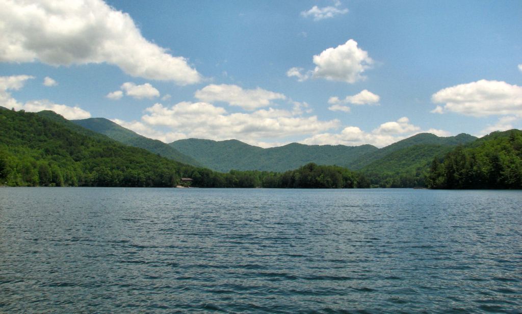
Cheoah River and Cheoah Bald Mountain
There was only one area of the Southern Highlands that matched the geographical descriptions of Chiaha in the Spanish chronicles and had silver deposits. It is surrounded by the Snowbird and Nantahala Mountains of Graham, Swain, Cherokee and Clay Counties, North Carolina. The remnants of very ancient and primitive silver mines can be seen in the Nantahala Gorge in that region. West of Bryson City, NC the main highway, Route 74 follows very ancient Indian trade routes and splits. One route continues west along the Little Tennessee River. The other route diverts southwestward toward Murphy, and eventually, the site of Kaushe.
The place name, “Chiaha” was still in what is now Graham County on British and Federal Period maps. It is now spelled as the Cheoah River and Cheoah Mountains. In the movie, “The Fugitive,” Harrison Ford appeared to jump off the Cheoah River dam. There is a very long and large island in the Little Tennessee River as it cuts through the Smoky Mountains, just downstream of where the Cheoah joins the Little Tennessee. The place is now called Talassee. The Talassee were another branch of the Creek Indians, who in the 1700s, moved south into the Okefenokee Swamp of deep southeastern Georgia and helped compose the Seminole Indians. This island may not be the site of Chiaha. It may be farther east near Bryson City. Several rivers come together there in a broad, fertile flood plain.
There was another bit of intriguing evidence. The lake formed by the Cheoah River is Lake Santeetlah. Although the Snowbird Band of the Cherokees now live near the lake’s banks, the word is not Cherokee, it is derived from the Hitchiti-Creek word Santee-tle, which means “Santee People.” “Sante” is actually a Panoan word from South America and means “colonists” or “immigrants.”
Ah-ah . . . both de Soto and Pardo left the capital of Kofitachikee and headed toward Kaushe on a route controlled by Kofitachikee’s allies. Kofitachikee was on the Santee River and there were Santee People living near Chiaha.
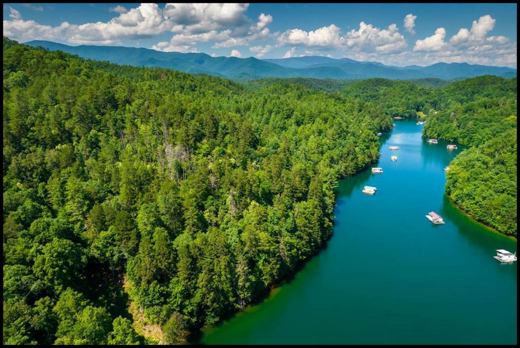
I became convinced that the site of the capital of Chiaha was under Fontana Lake. Google maps were fuzzy graytone images in those days . . . not useful for finding ruins. I tried going out into the lake in my canoe. Unfortunately, there was no public access to the lake in the vicinity of where the Nantahala River merged with the Little Tennessee. I didn’t have the money to order infrared maps from the US Geological Survey like those that I used in Virginia for analyzing historic farms and Civil War battlefields. Very little progress was made in this endeavor during the time when Roger was still alive.

The importance of Chiaha
Let’s make it clear, virtually none of the anthropologists-archaeologists in the Southeast have a clue that Chiaha is a Maya word. That’s because, unlike their counterparts in Europe, Latin America and East Asia, ethnology, cultural history, architectural history and linguistics are almost never used in the interpretation of an archaeological site. Instead, a series of quite obsolete, orthodox facts as adopted decades ago, are the criteria for archaeological interpretation.
Certainly, none are aware that Cha’ta hawche (Chattahoochee) are words that would be understood by all the Highland, Cho’i-te and Tamulte Mayas in Mexico, Guatemala and Belize. It means “carved stone (stela) – shallow river.”
The province and capital of Chiaha were visited by the De Soto (1540) and Juan Pardo (1567-68) expeditions. Juan Pardo stayed there twice, plus constructed a fort for a small garrison nearby. Surviving chronicles of both expeditions are enigmatic because they will give detailed descriptions of some locations; then say virtually nothing about long distances of their journeys. However, the differing routes of their journeys crossed at a town in Chiaha AND the most detailed geographical descriptions of both expeditions’ chronicles are found in the vicinity of Chiaha.
The official location of Chiaha described in most websites and books is Zimmerman Island, TN. Someone placed that information in in Wikipedia 20 years ago, and the Purple Gatekeepers of Wikipedia quickly delete any statements that challenge that statement.
Zimmerman Island is a handy choice for fudging on history, because the island has been covered by water since 1942. Despite claims by Dixie academicians, there are no archaeological reports and no artifacts to back them up. The reservoir was completed in haste because of wartime necessity. What little is known about a modest mound on the island was that it was probably a Woodland or Early Mississippian burial mound. At any rate, there is absolutely no resemblance between Zimmerman Island’s environs and those described for the capital of Chiaha in Spanish archives.

As Executive Director of the Asheville-Buncombe County, NC Historic Resources Commission in the early 1980s, I am an eyewitness to the real reason for the Zimmerman Island location. The Biltmore Estate offered the self-appointed academic team of the 1980s De Soto Expedition study $25,000 to route De Soto and Pardo through Asheville. The Asheville Area Chamber of Commerce publicly paid them $500, but much more may have been offered behind the scenes. That’s equivalent to about $77,000 today. They were also given money by the Eastern Band of Cherokees and North Carolina Dept. of Tourism to promote Asheville and western North Carolina, but I don’t know the actual sums.
Members of the De Soto Expedition Study Group met in my office along with two archaeologists from the North Carolina State Historic Preservation Office. The professors were using a North Carolina highway map and masking tape for mapping the route of De Soto in their “scientific” study. We told them that what they were calling Guaxule, then Ancient Capital of the Cherokee Nation in Asheville, was a three feet tall Woodland mound that had been abandoned a thousand years before De Soto. We told them that there were NO occupied Native American towns along the middle and lower French Broad River during the middle 1500s. It is still a lousy location to grow corn.
None of the professors were intimately familiar with the geography of western North Carolina. I don’t know if these professors drove any further into western North Carolina than Asheville. They may have driven 60 miles to pick up their check from the Cherokees, but this was not publicized.
The professors ignored us then publicly announced that we endorsed their route. A month later the two archaeologists were forced to endorse the route through Asheville in order to keep their jobs. It was one of several similar experiences in Asheville that propelled me to Virginia. Historic preservation is a serious business in Virginia that rewards competent architects.
Throughout the remainder of the 1980s, 1990s and early 2000s, a state historic marker on South Broad Street in Downtown Asheville announced that De Soto came through Asheville and that the capital of the ancient Cherokee Nation was on the grounds of the Biltmore Estate. In 2000 and 2001, a team of archaeologists received funds from the Biltmore House and Eastern Band of Cherokees to excavate the dinky 3 feet high mound . . . with dreams of building a De Soto Expedition Museum in Biltmore Village.
Just as we said, it turned out to be the ruins of a small round council house that was rebuilt several times between 200 AD and 450 AD. The archaeologists saved face by announcing that they had discovered “the oldest known Cherokee building.” There was absolutely nothing to link the structure to the Cherokees. They were nowhere around back then. The “De Soto Expedition was here” historic marker was eventually taken down and Ashevillians were instructed by the Lords of Seth not to remember the De Soto Thang debacle, but Wikipedia still tells you that De Soto spent the night in Asheville along with George Washington.
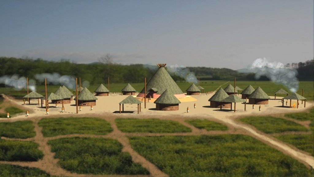
Chiaha is the most important key for unlocking the riddles of the 16th Spanish expeditions. It was also the only town where Spanish chroniclers mentioned the surprising discovery of honey being consumed and Mayan salvia being cultivated in vast fields along rivers. The Mayas to this day, maintain hives of domesticated honey bees that are indigenous to Central America. No other Native American people other than those provinces on the coasts of Georgia and South Carolina, were known to have consumed honey until after the arrival of European colonists, who brought along Eurasian honey bees.
The chronicles of both expeditions stated that Chiaha was a long island in a river. De Soto visited the town first before entering the Tennessee River Valley. Juan Pardo visited Chiaha after first being in the Tennessee Valley and visiting a large town named Taskeke Olamikko. Taskeke means “Woodpecker People” means “Woodpecker People” in the Muskogee-Creek language. Olamikko (actually Orameko) means “capital” in Itza Maya (Itsate) and the Itsate -Creek (Hitchiti) languages. The North Carolina place name of “Tusquitee” is derived from the Hitchiti-Creek way of saying “Woodpecker People.”
One De Soto chronicle called Chiaha a province. Another called it an “olamikko.” Perhaps the two expeditions visited two different towns on long rivers in the same province?
Juan de la Bandera, who accompanied Juan Pardo everywhere he went, provided much more detailed information about the region around the capital of Chiaha. At Chiaha, the main trade route along a major river in the mountains diverged. One continued through the Smoky Mountains to the Tennessee Valley. Another cut through gaps in the Nantahala Mountains to take a direct route to the town of Kaushe. The chronicler mentioned that Pardo elected not to take the direct route to Kaushe, because the king of Chiaha had warned him that he would be ambushed on that trail.
Pardo’s conquistadors found silver ore in the mountains south of Chiaha. There is silver ore and ancient silver mines in Nantahala Gorge, south of the Little Tennessee River. There is no silver ore in the mountains south of Zimmerman Island. They are Sedimentary rocks. There is also no tributary of the Tennessee River that flows from the south to Zimmerman Island.
The presence of silver in the region made Pardo especially interested in Chiaha. He cancelled his visit to Kaushe, and hung around Chiaha for awhile. On the way back home to Santa Elena (Parris Island, SC) Captain Pardo constructed a chain of small forts that would protect silver shipments from Chiaha to Santa Elena. He left small garrisons at each fort. However, within six months all the forts had been massacred and burned.
It has always been presumed that the Spanish soldiers were killed by local native peoples; maybe, maybe not. In November 1567, the expedition of French nobleman, Captain Dominique de Gourgues, built a fort on the Ogeechee River, immediately south of present-day Savannah then disappeared into the interior until March 1568. This is the period when, all the Pardo forts were massacred. In April 1568, the Spanish garrison at Fort San Mateo, on the Altamaha River in Georgia was massacred by a combined force of De Gourgues’ expedition and Native American warriors.
The real location of Chiaha
Eight more years would pass before I was able to find the definite location of Chiaha. The mounds are still visible when the waters of Fontana Lake are lowered. You can read about that discovery in this recent article:

Great article and research as always. I’m curious if “Chiaha” has any etymological link to “Cheaha”? Its the highest mountain here in Alabama. I live within sight of it and like to hike in the forests around it. I sense a place of great energies and there are mounds scattered throughout here which I wonder have alot of the same features as the Georgia sites. The “official” authorities and archaeologists claim the name comes from the Creek “high place”, but I much rather trust your work which expresses actual Creek folklore, linguistics, archaeological evidence, etc.. Keep up the great work! I have two of your books and have been following alot of your videos, just absorbing the information as part of my own research too.
LikeLiked by 1 person
Thank you! Yes, Cheaha is an Anglicization of Chiaha. So is Chehaw. The Chiaha People drifted southward after the Spaniards came through. Some also settled in SW Georgia, but both the Alabama and SW Georgia bands eventually moved to Florida and became the core of the “Hichiti Seminoles.”
LikeLiked by 1 person